Mobile 44.4829N -65.1202W, Antenna height 6.5 meters, tree height 25 meters
We have been eager to test the limits with what our software told us would be marginal links, however open arriving at the test site it quickly became apparent this was not going to work. The was a wall of 25m pine trees directly in the signal path with only 8m of free space for the antenna it didn't look good and it didn't work.
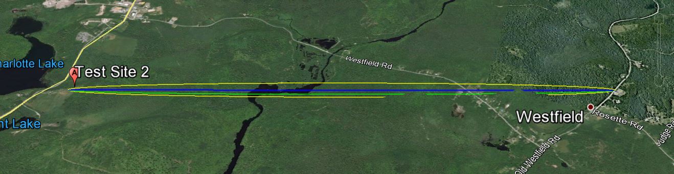
The link according to Google Earth link distance 3.15 km elevation and foliage below.
KML File that opens in Google Earth is available for those wishing to take a detailed look at the terrain and vegetation
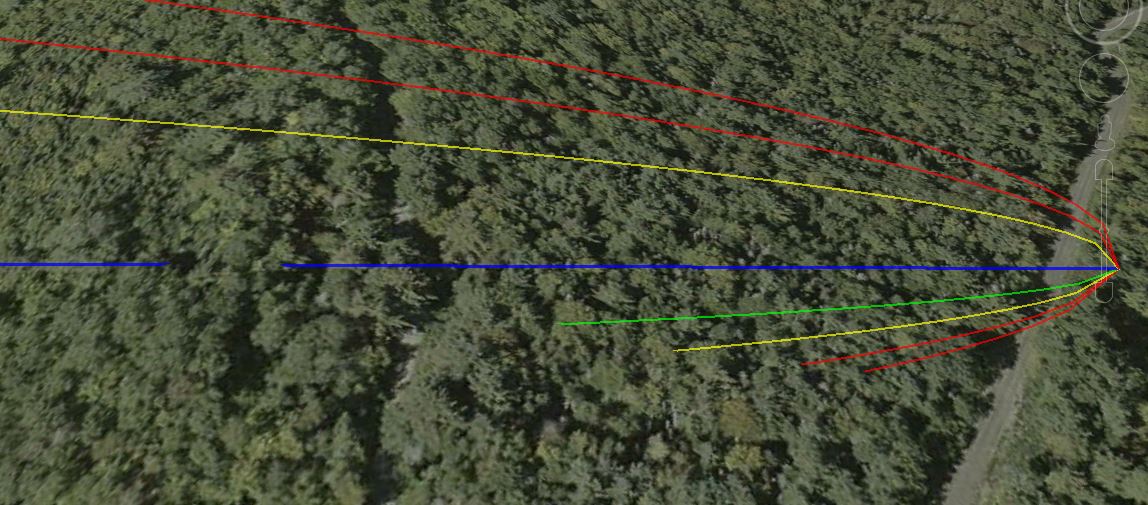
A minor obstruction of 1m (gap in blue line), a wall of 25m pine trees plus very limited free space around the antenna killed what was a marginal link to begin with.

Radio Mobile simulated link data using assumed tree height of
20 meters and density of 130
This setting can be found under options- elevation data. Note minor
obstruction 120m before right end of link.
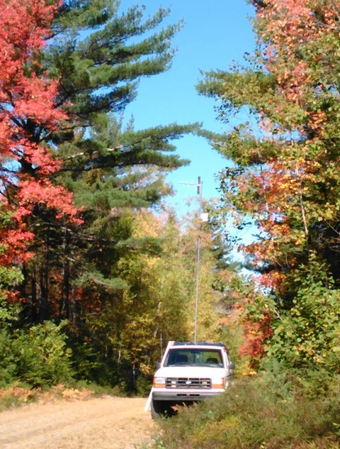
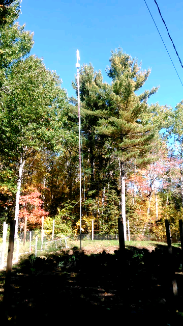
Mobile unit with antenna at 6.5 meters only 8m away from 25m trees and base station antenna 15m from 20m pine tree. Not a good combination for a marginal link to begin with.