Pretty Mary Lake house to Northfield Rd
Base 44.4669N -65.153W, Antenna Height 14 meters, tree height 20 meters
Mobile 44.4586N -65.1719W, Antenna height 6.5 meters, tree height 15-20 meters
This link is interesting because it illustrates how a link is possible despite there being a heavily treed small hill in the signal path, it is one of the major advantages of the propagation characteristics offered by the lower frequencies that TVWS employs.

Direct line of sight signal path (blue line) is 10.5m below the hill surface which is in turned covered with 15-20m trees, the is simply no way you can make a link like this work using multi Giga hertz equipment. Overall link length 1.76 km
KML File that opens in Google Earth is available for those wishing to take a detailed look at the terrain and vegetation

Close up of the hill obstructing the signal path
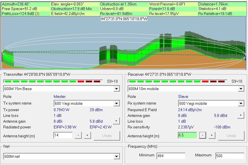
Radio Mobile simulated link data using assumed tree height of
20 meters and density of 130
This setting can be found under options- elevation data.
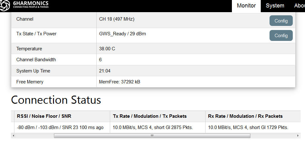
Measured results from Base Station status page
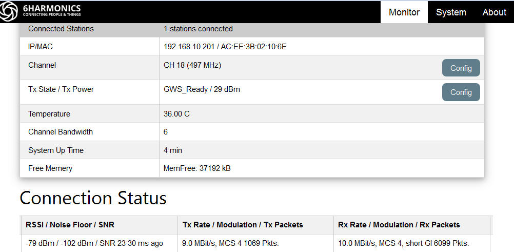
Measured results from Mobile CPE Status page
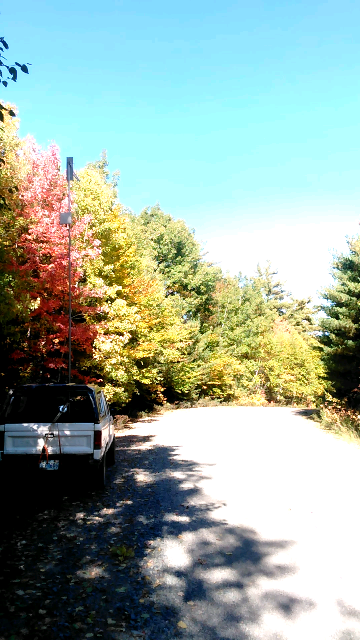
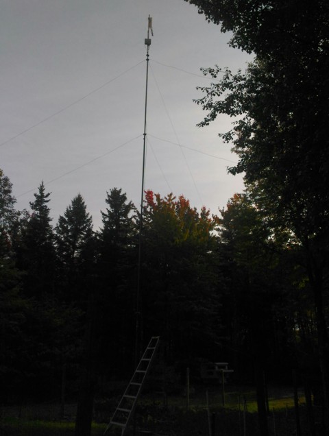
Poor quality pictures of the mobile and base antennas, mobile antenna was at 6.5m trees in the area were 15-20m. The base station is unchanged with just a few 25m pines in the signal path in this direction until it breaks out into free space over water for a while.