Test from Pretty Mary Lake to Hillsborough Rd
Base 44.46684N -65.15308W antenna Height 14 meters, 8dBm Yagi, tree
height 60ft+
Mobile 44.4678N 65.1425W, Antenna Height 8 meters, 8dBm Yagi tree height
60ft+
Although short this is a most challenging test the signal path consists almost completely of dense pine, the type that is impossible to walk through and hard to see through. In addition the antennas are well below the tree tops and close to them making it hard for the antennas to function as designed.
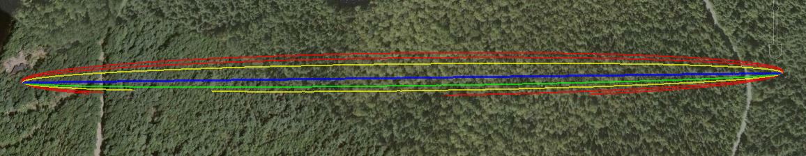
The link according to Google Earth link distance 0.855km elevation and foliage below.
KML File that opens in Google Earth is available for those wishing to take a detailed look at the terrain and vegetation
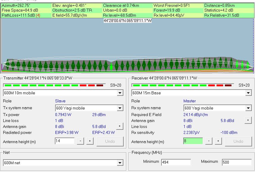
Radio Mobile simulated link data using assumed tree height of
20 meters and density of 130
This setting can be found under options- elevation data.
In this case it would appeared we should have used a far higher number of around 300 for tree density.
Although hard to see the signal path only just clears a very low hill on the left of the picture.
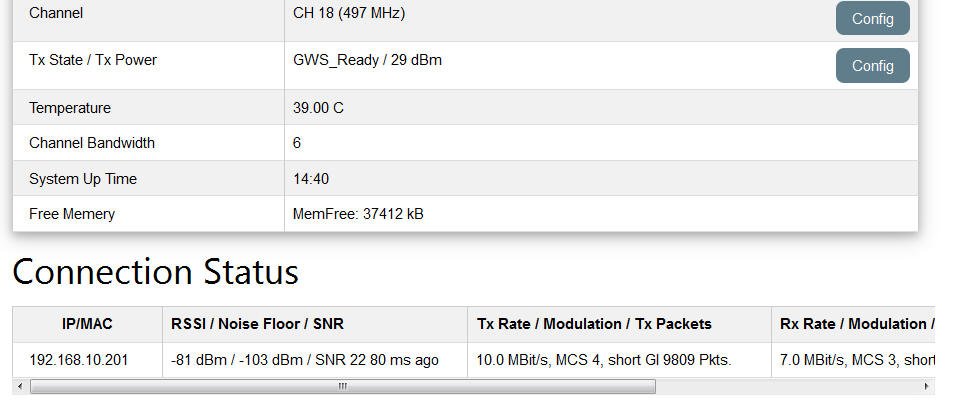
Measured results from Base Station status page
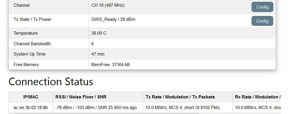
Measured results from Mobile CPE Status page
![]()
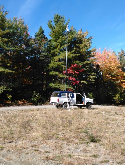
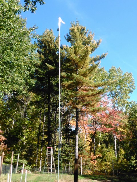
Both base station and mobile antennas are well below the tree canopy which averages 60ft of dense pine, also the antennas have barely 50ft of free space before the tree canopy.