Test site 2 to North Brookfield, Molega Rd
Base 44.37996N -65.0064W antenna height 14m, no trees.
Mobile 44.3839N -64.964W antenna height 6.5m, less than 15m
Although a relatively short link at 3.4km we find it very interesting that it worked at all due to direct signal path clipping the tops of 3 small hills
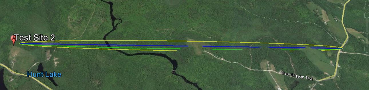
The link according to Google Earth link distance 3.4km, elevation and foliage below.
KML File that opens in Google Earth is available for those wishing to take a detailed look at the terrain and vegetation
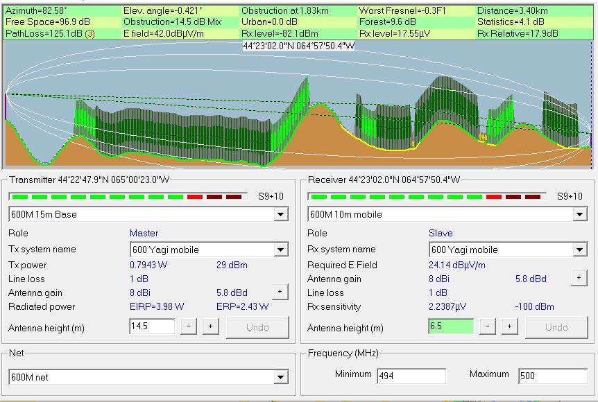
Radio Mobile simulated link data using assumed tree height of
20 meters and density of 130
This setting can be found under options- elevation data
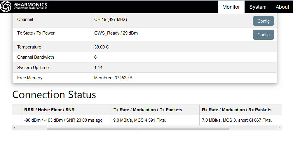
Measured results from Base Station status page.
The first tests were conducted in earlier October a second set of test were conducted a month later when most of the leafs had left the trees these resulted in an increase in signal strength of 1dbm
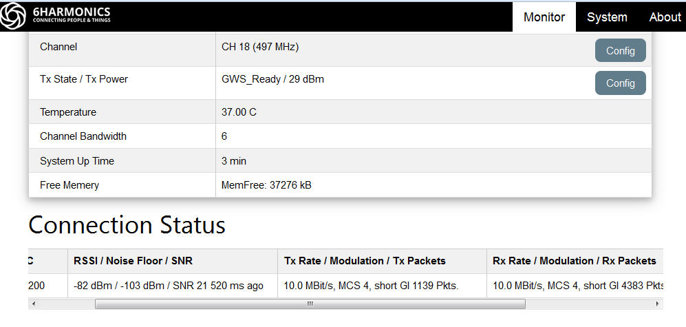
Measured results from Mobile CPE Status page.
The first tests were conducted in earlier October a second set of test were conducted a month later when most of the leafs had left the trees these resulted in an increase in signal strength of 3dbm
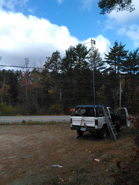 Mobile antenna at 6.5 metres 50m clear space before signal encounters a mixed forest of about 15m |
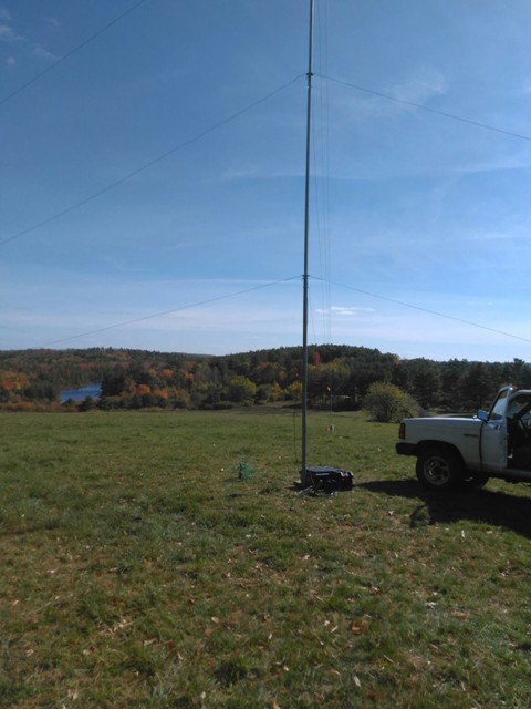 A near perfect signal path before the signal encounters the first hill at 1.8km. This would be the left hill with the lake below. |