Test 21
Test site 2 to Westfield Rd
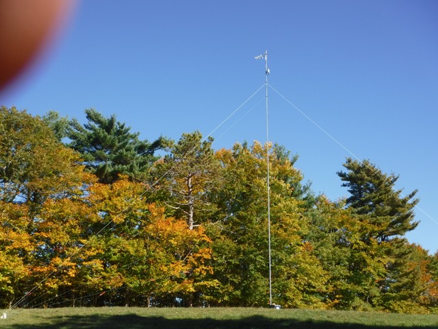
Base 44.37996N -64.9701W antenna height 14m 8dBi yagi, clear for 150ft and then a few trees
Mobile 44.395N -65.0222W antenna height 6.5m 8dBi yagi, 15m deciduous trees.
Although only a short 2km link it is challenging due to a hill top and heavy ever green tree cover in the signal path.
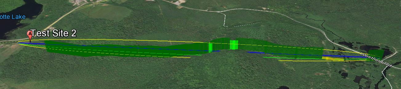
The link according to Google Earth link distance 2.09km, elevation and foliage below.
KML File that opens in Google Earth is available for those wishing to take a detailed look at the terrain and vegetation
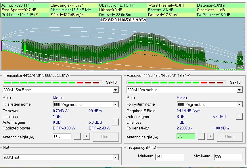
Radio Mobile simulated link data using assumed tree height of
20 meters and density of 130
This setting can be found under options- elevation data.
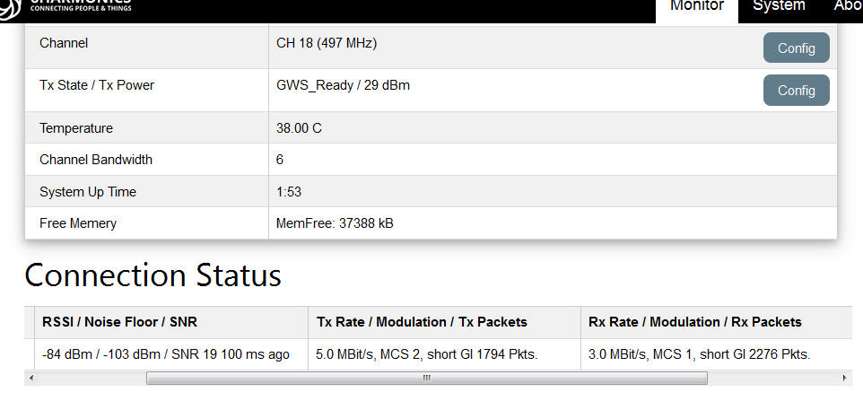
Measured results from Base Station status page
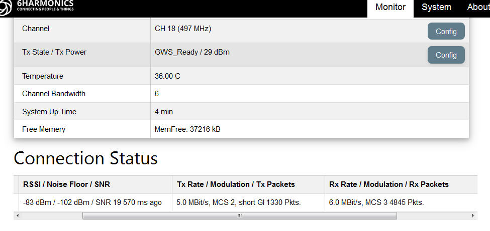
Measured results from Mobile CPE Status page
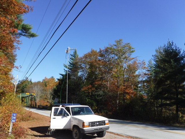 15-20m mixed forest at this end of the link. |
 Our signal path is through this 2-3 deep row of trees and then into free space. |